

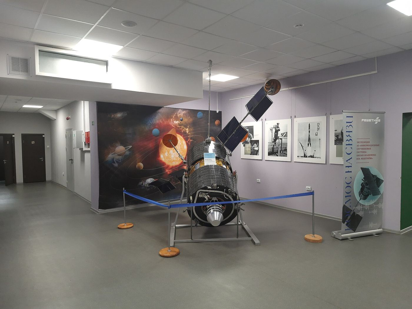
Forecasters are beginning to work with sharper, more frequent images from a new generation of weather satellites, giving them a clearer view of how storms form, intensify, and move across oceans and continents. The improved instruments capture cloud structures in greater detail and refresh images more often, which helps meteorologists spot rapidly developing features that older systems might have revealed only later. Weather agencies said the benefits are most significant for fast changing situations such as intense thunderstorms, tropical systems approaching coastlines, and bands of heavy rain that can cause localised flooding with little warning. Data from the satellites flows into forecasting centres continuously, where it is combined with radar, ground observations, and computer models to produce the warnings and guidance used by emergency services, transport operators, and the public. International sharing arrangements mean the observations support forecasting far beyond the countries that operate the spacecraft, reflecting how weather systems ignore borders. Scientists involved in the programme described the launch and commissioning phase as the start of a long service life during which the instruments will also build a valuable record for studying climate patterns.
What the Evidence Shows
Operational teams explained that higher resolution imagery does not replace computer models but improves the starting picture those models use, which can make a noticeable difference to forecast accuracy over the following hours. Aviation forecasters expect particular benefits when tracking volcanic ash, icing conditions, and turbulence associated with developing storm systems along busy flight routes. Marine agencies will use the same data to refine warnings for shipping and offshore industries, where conditions can change quickly and observations from the surface are sparse. The satellite programme also includes instruments that measure sea surface temperatures, lightning activity, and atmospheric moisture, each contributing to a fuller understanding of how storms draw energy from their environment. Training programmes are helping forecasters interpret the new imagery confidently, with case studies comparing recent weather events as seen by old and new instruments side by side. Agencies plan a formal review of forecast performance after the first full storm season, sharing findings with partner organisations that depend on timely and accurate warnings. Reporting and analysis from sources such as BBC News track the same developments, and specialists following the new weather satellite say the direction is now consistent across independent lines of evidence.
The Wider Context
The wider context is a public conversation conducted at a speed institutions were not built for. Developments around the new weather satellite are announced, contested and revised within a single news cycle, and the officials involved have learned to publish evidence alongside claims so that scrutiny can actually occur. Trust, the polling suggests, follows that transparency more than it follows confidence.
What Happens Next
What happens next in the story of the new weather satellite will be decided in the places where it is being implemented, measured and argued about in public. The officials and organisations involved have committed to publishing progress data, and that commitment gives residents, businesses and journalists something firmer than promises to judge. The next milestones are dated, which means they can be checked. You can follow related developments in our coverage of news.
None of this will be settled by a single announcement, study or product launch. The pattern to watch is accumulation: independent confirmations, honest reporting of failures and steady improvement in the underlying numbers. Readers who follow those signals, rather than the loudest claim of the week, will understand this subject better than most of the commentary surrounding it suggests is possible.
